

USPS Wants To Improve 'Community Safety' With New Mail Truck Cameras
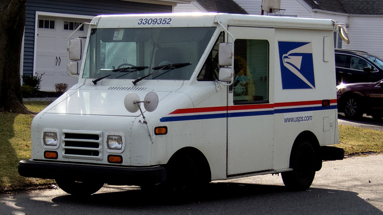
You know that last bullet point of most job descriptions that says, "Other duties as assigned?" Normally, it means a company can dump more work on you or change your job entirely without a corresponding increase in pay. If a U.S. Postal Service pilot program succeeds, though, mail carriers won't have to do any additional work to take on the enormous task of mapping the country's infrastructure, reports 404 Media.
As is often the case these days, the task involves cameras, plus software to analyze the data they generate. Rather than stalking people like rogue cops do with Flock cameras, this system would map roads, sidewalks, and signs while mail carriers swiftly complete their appointed rounds. The reasoning is that mail carriers already drive every road every day, so why not leverage that for rapid map updates as well?
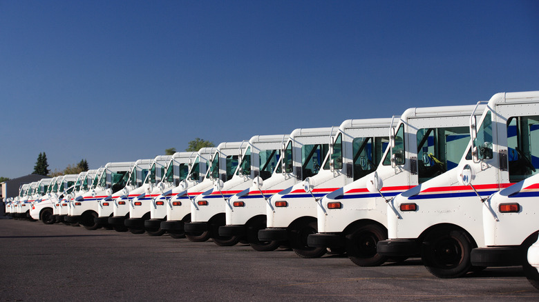
A letter to the National Association of Letter Carriers that NALC Branch 238 posted to Facebook describes the pilot program, which is running in the Washington, D.C. area. Nextbase cameras have been installed inside 100 delivery vehicles. They face forward and don't record audio inside the truck, so drivers shouldn't have to worry about being filmed without consent. Images of postal employees and insignia will be redacted. The cameras operate automatically as long as the vehicle is in drive, and outside a geofenced area surrounding the postal facility. The pilot program started September 21, and is expected to run for several months.
Cameras, cameras everywhere
A USPS spokesperson explained the pilot program further to 404 Media:
The Postal Service is conducting a limited pilot to assess whether vehicle-mounted cameras can help identify roadway conditions and support community safety. The pilot includes privacy safeguards and requires no additional action from employees. Findings will inform any future decisions.
If everything is as the USPS describes, this could be a significant benefit to map accuracy. The navigation apps I've used often display speed limits, road signs, and traffic lights along my route. Many times, this information is wrong. Putting cameras in mail trucks is like sending a simple version of the Google Street View car to nearly every road, every day, for updates. If a road is closed, or a speed limit changes, that will be recorded, and should get updated in our navigation apps.
What isn't clear is exactly who will have access to this data, or where it will be stored. Presumably, Nextbase will be handling much of that. The Nextbase website shows a variety of smart dash cams for sale to the public. The company has also partnered with several auto manufacturers, including Toyota, Volkswagen, Hyundai, Ford, and Mazda. As much as Flock might want them to be, Nextbase cameras are not automatic license plate readers. Still, the website says:
Nextbase dash cams record in up to 4K Ultra HD, capturing every road sign, license plate, and detail with precision. The sharper the image, the more reliable your evidence will be.
We've seen with Flock cameras that it's not the camera, but the software behind the scenes reading your license plate and more. How will this data be used? In Dallas, cameras mounted on garbage trucks are spotting code violations. They drive regular routes around the city and scan automatically as they go, just like the Postal Service. Keeping maps updated benefits everyone, but how do we know that's all the new data will be used for?
For now, the program is limited to the Washington, D.C. pilot. Future deployments will depend on how this one goes. Hopefully, we'll get some answers to these questions before any large-scale use.