

The Alaska Highway Was Built Across 1,500 Miles Of Wilderness In 8 Months In 1942
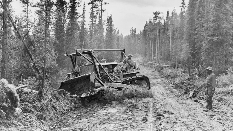
It may not look like it on most maps you're familiar with, but Alaska is quite far away from the rest of the States it is United with. Alaska is so far away, in fact, that the United States and Canada had to work together to build a 1,500-mile highway connecting the Last Frontier with the rest of the civilized world. The Alaska Highway, stretching from Delta Junction, Alaska, to Dawson Creek, British Columbia — still another 695 miles' drive north of the nearest border crossing to the lower 48.
The United States first proposed a highway route through Canada to Alaska in the 1920s, but our northern neighbors initially balked. Building the highway would be expensive, and there was little to be gained by connecting the sparsely populated American territory (it would not become a state until 1959) with the sparsely populated Yukon Territory and British Columbia. When the 1930s devolved into the Great Depression, Canada decided it was correct to pass on the project. But the bombing of Pearl Harbor in 1941 put a renewed interest in it, as the highway became a critical route to deliver supplies and provide defense.
We're going to build a road, and America's going to pay for it. Canada agreed to let the U.S. build the road, so long as it was given over to Canadian control after the war ended. Just a few months after the bombs dropped, construction began. Over 10,000 American soldiers were deployed and entire trains full of construction equipment arrived. On the one hand this was a case of humans dominating nature forcefully and rapidly, but on the other it's such a breathtaking engineering feat, like the rest of the Pan American Highway, that it's hard to feel anything but awe.
How the Alaska Highway was made
This project sits somewhere on the all-time American ambition list somewhere near the top, perhaps just below the larger Dwight D. Eisenhower National System of Interstate and Defense Highways and Hoover Dam. Japanese aggression toward the U.S. and threats against the western coast of North America spurred Canada and the U.S. to work together, and construction efforts began in March of 1942. In late September the two crews met in the middle at Mile 588, and the road was deemed completed in late October. A dedication ceremony was completed at Soldier's Summit on November 20.
Despite being complete, it was still impassible by most vehicles, with poor surfaces, switchbacks, pontooned floating bridges, and not many guardrails to speak of. Things got worse in the spring of 1943 when permafrost thaw destroyed hundreds of miles of road. It took until late 1943 before it could reliably be passed without catastrophic failure. Since large stretches were still reinforced by felled trees in a corduroy road construction style, it was still quite difficult to traverse.
Considering the effort involved in getting nearly 1,500 miles of highway open and operating in just eight months of construction, it doesn't really matter that it took nearly another year to shore it up and get it reasonably passable. While it ultimately didn't make much difference in the war effort for the United States or Canada, it significantly improved humanity's understanding of roadway construction in cold regions, and effectively made the settlement of Alaska and the Yukon possible. Once the war ended, Canada took over responsibility for its maintenance and upkeep of its sovereign section. The road is now mostly used to aid tourism to the region.
What's it like now?
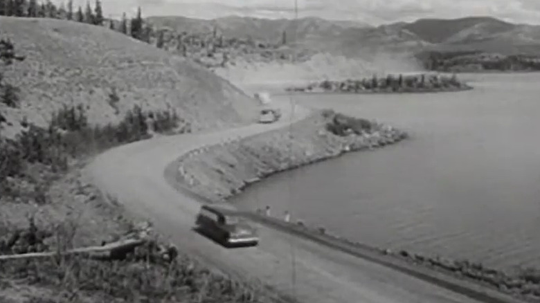
Progress on the project was slow and arduous, in spite of the relatively quick finish time. According to a 1944 Canadian-government propaganda film, "Pincers on Japan," the bitter cold weather was a nightmare for construction crews. "Ice-clogged wheels, engines and treads at 40 degrees below zero need drastic treatment to keep them free and rolling," says narrator Lorne Greene, later to star in TV's "Bonanza." "Repair crews build fires under the frozen [machinery] and feed the flames with oil."
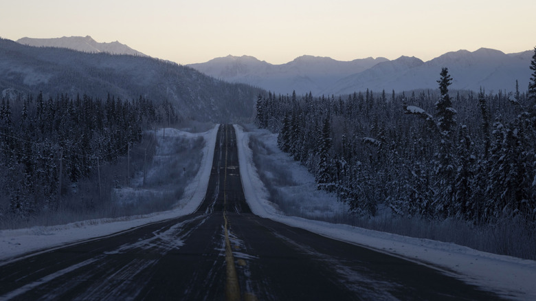
I'll be driving this highway in a few weeks when I head to the Arctic Circle to participate in the 2026 Alcan 5000 rally. These days the Alaska Highway looks quite different from the log-based infrastructure of the 1940s. It's a well-paved and shored thoroughfare, with the old floating bridges long replaced by steel and wood. Thankfully, my late-summer route will be much warmer than these men experienced over 80 years ago.
Ultimately, there was never much need for the wartime emergency supply route to Alaska, as the armed forces moved much of the supply over water. According to the U.S. Army Corps of Engineers, "to maintain the flow of men, supplies, and equipment to the Alaska military projects, the [Army Transport Service for Alaska] leased or purchased more than 300 small craft, tugs, barges, fishing tenders, scows, and yachts."
Once the military finished initial construction, the project was passed off to the U.S. Public Roads Administration to upgrade sections to passenger highway specification before being handed off again to the Canadian government at the close of the war in 1946. It finally opened to the public in 1948.